")
From the Course Setter
Course setter Lauri Tarlap says:
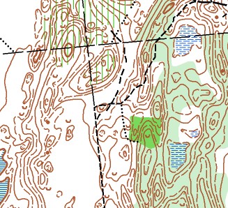
Terrain
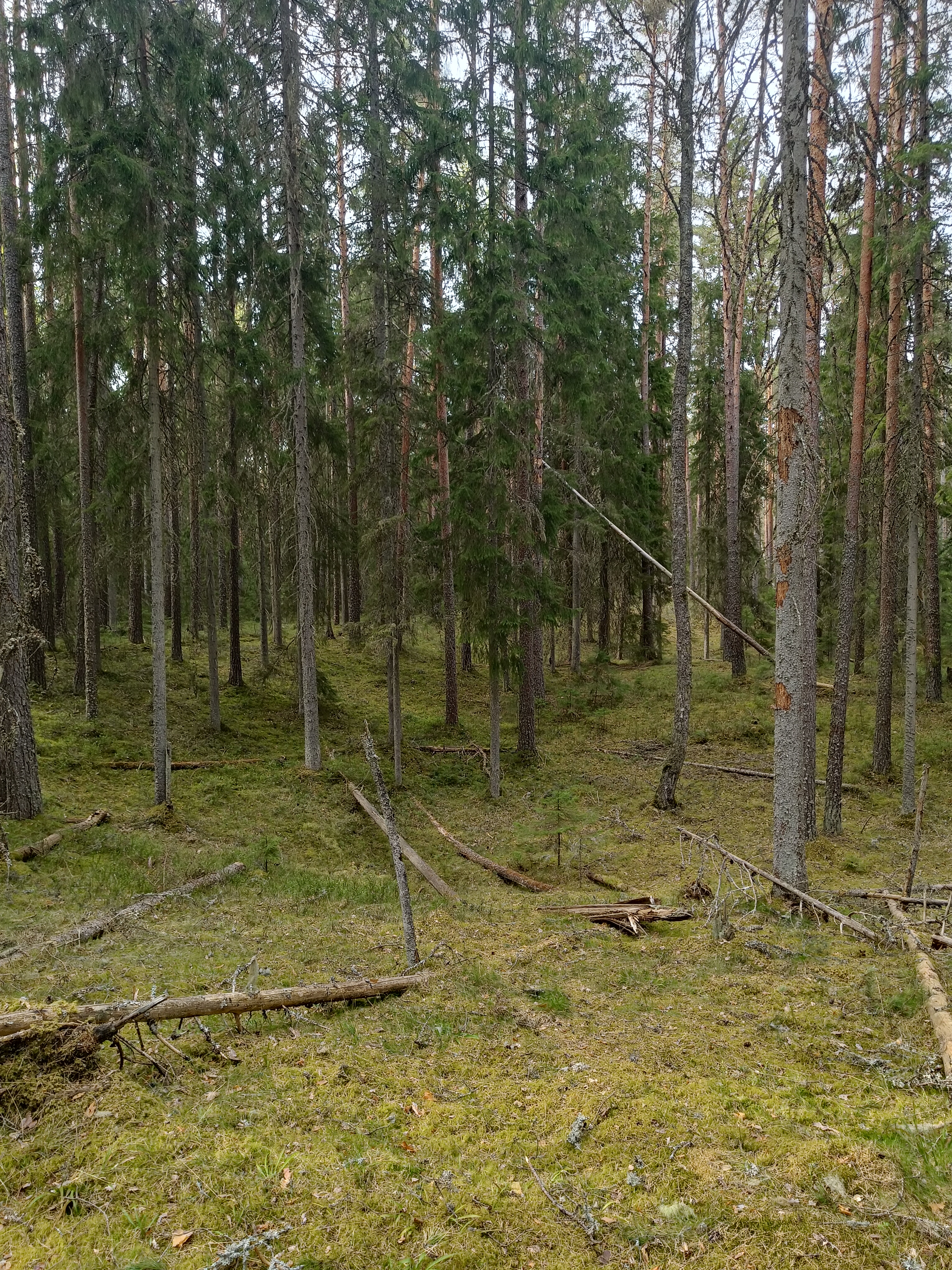
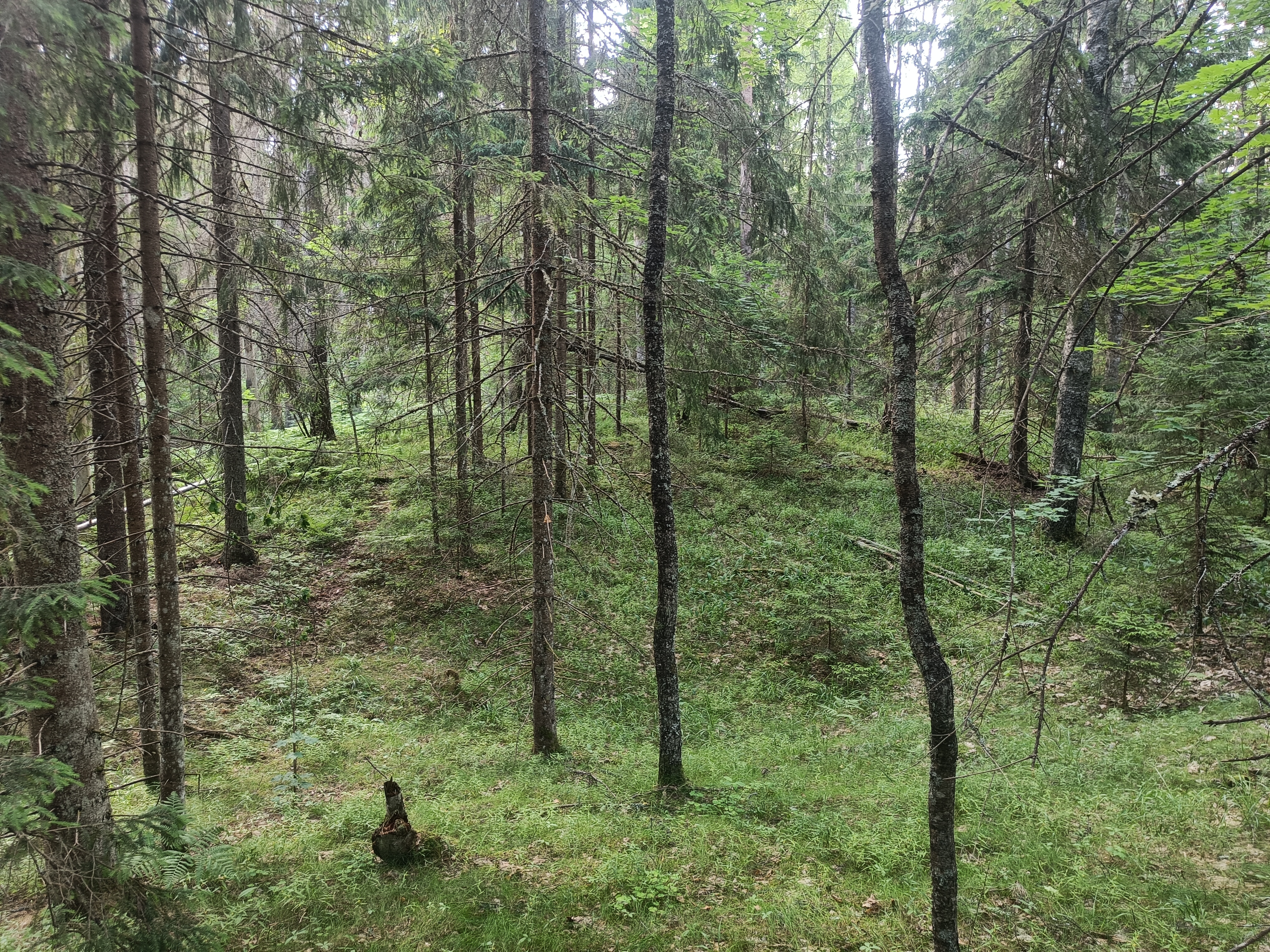
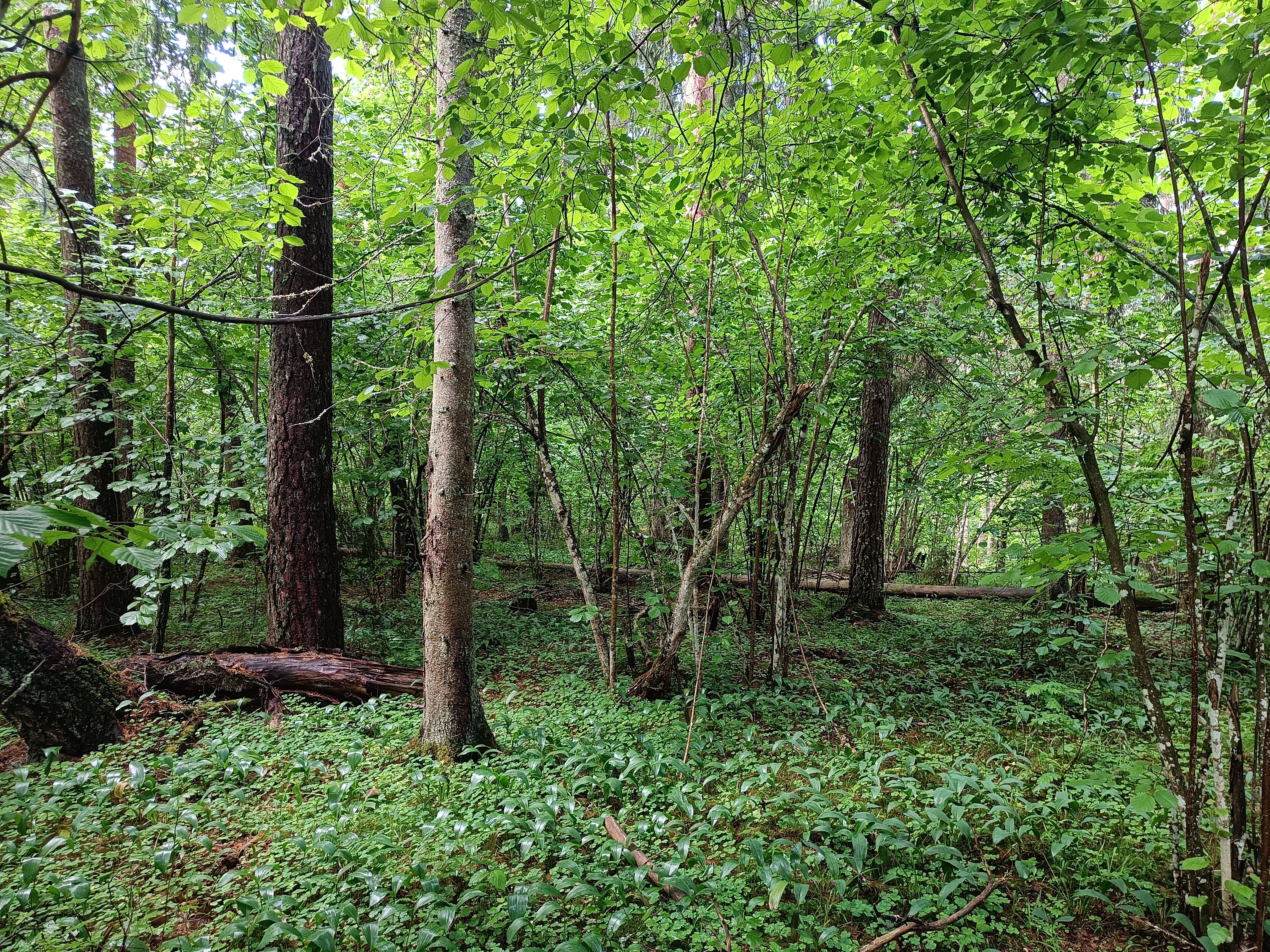
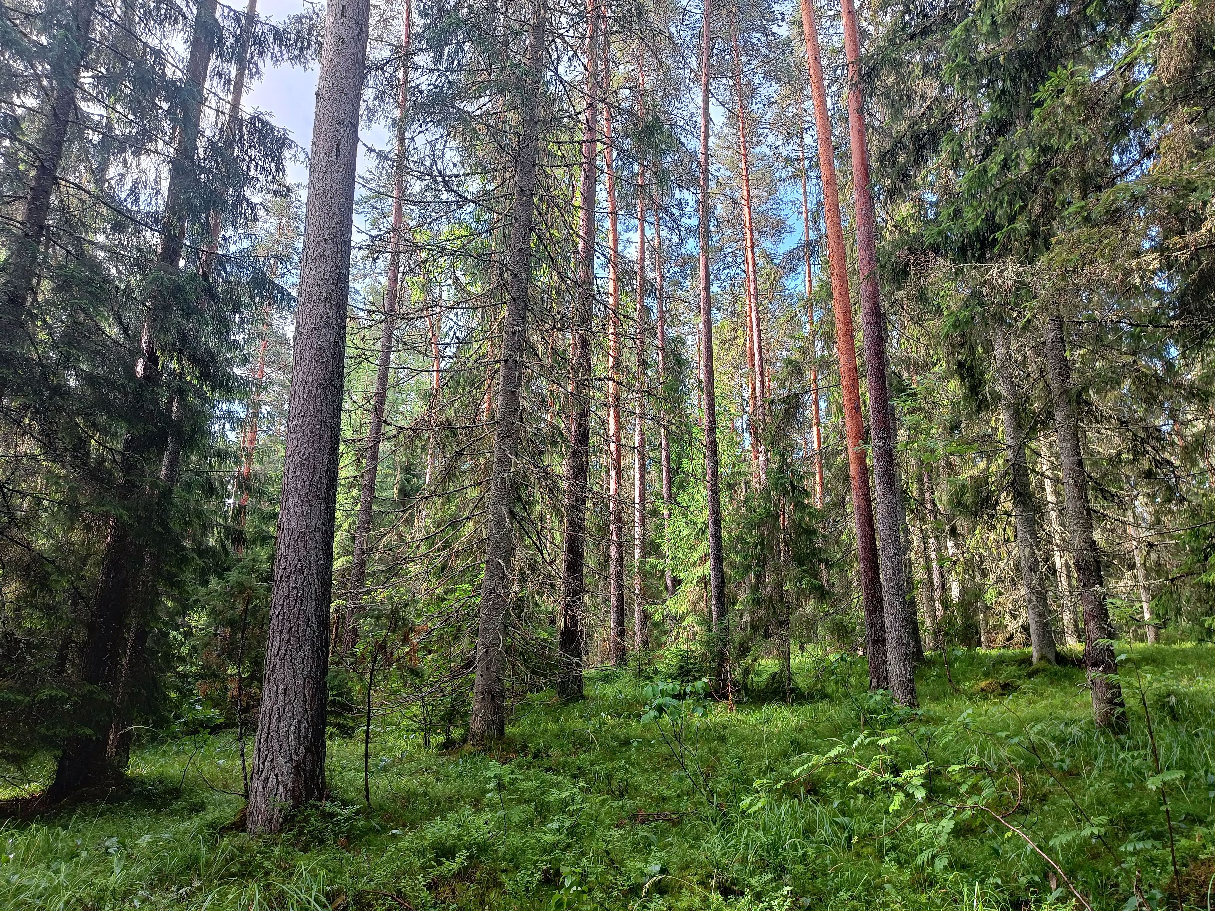
The terrain includes very fast-running parkland forest, as well as spots where you literally have to force your way through. There are also simply cluttered/messy areas.
The map was drawn by Mait Tõnisson and is new, completed around Midsummer (Jaanipäev). What stood out was very good readability — everything important for orienteering is on the map. Places where the relief "plays" (has notable small features) are mapped with form lines.
The longer courses cover essentially the entire freshly mapped area over the two days. I've tried to keep the courses mostly in the better-runnable parts of the terrain, but some denser patches are bound to come up.
Treat the slopes with respect — at some point it may get tough. The 5 m contour interval will make itself known fairly quickly to those not very used to it in Northern Estonia. The same goes for the vegetation — there's a lot of bilberry, both as plants and berries. In some places ferns were growing too, about 80 cm tall. No nettles were encountered anywhere.
As of July 4th, the bogs were dry; there was little water in the ditches, and it seemed more like a muddy, soft give underfoot. A hiking trail runs through the terrain, and in places there's a proper network of paths, partly based on old forest boundary lines.
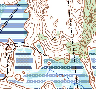
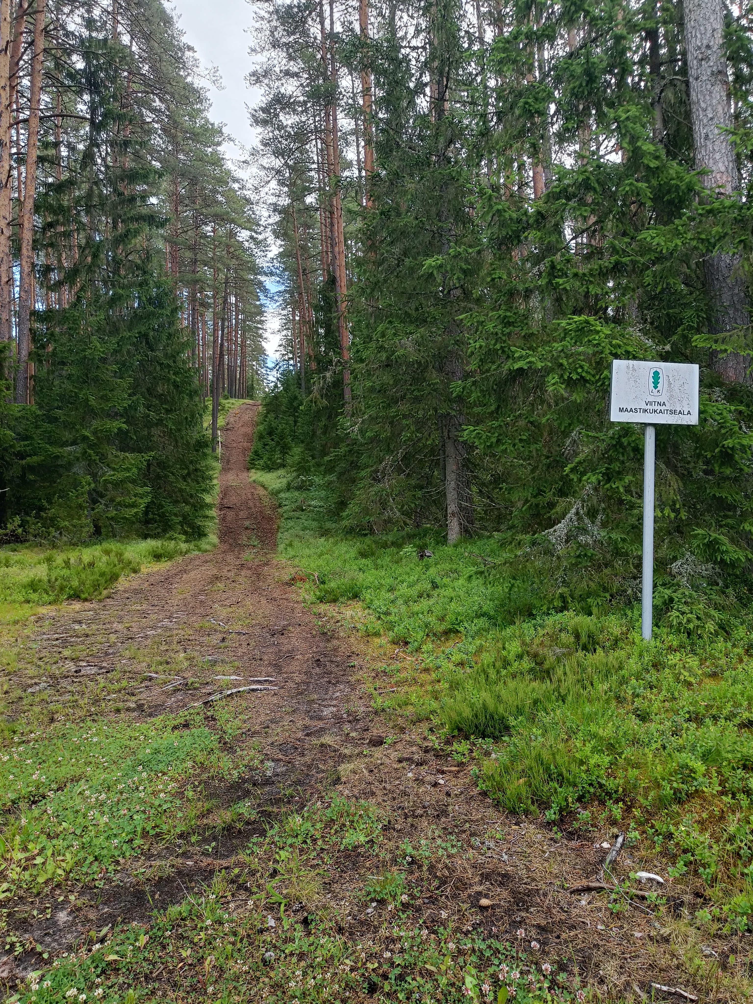
Restricted Areas
There are 2 small out-of-bounds areas in the forest, marked on the map with the purple hatching symbol 709.000. These are not marked with tape in the terrain, and there are no controls there either. A footpath runs through both out-of-bounds areas, and you may run along it. Deviating from the path within the out-of-bounds area is forbidden. No logical route choice should give any reason to do so.
The Viitna–Kadrina road is also out-of-bounds and must not be crossed at random points. Traffic on the road is fairly heavy and at times quite fast. The road crossing takes place at one fixed point on both days, after passing a control point.
Water Points
Both days have 2 water points, which most courses pass through. On the second day, for many courses these water points are fairly close to the finish. Since the weather is expected to be hot, it might be worth considering a hydration belt, especially for the longer courses. On day two, one water point comes right after the road crossing.
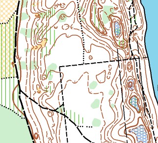
Route Splitting
On day two, some courses have route splitting (butterfly loops/dispersal). Pay close attention to where you need to run, so you visit the controls on your course in the correct order.
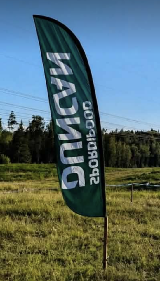
Control Feature — Artificial Object
On both days there is one control in the terrain marked on the map with an X.
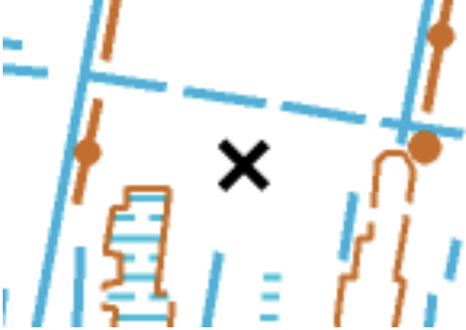
In the terrain, however, it is marked with a beach flag.
Hazards
- Crossing the Kadrina – Viitna road. This narrow, curved road is busy with traffic and many large trucks.
- Spruce windbreaks. Especially on steep slopes. The dry twigs protruding from fallen trunks are sharp, painful – dangerous!
Other Information
The distance of the start from the competition center is approximately 150 m on the 1st day and 1.2 km on the 2nd day.
In the southern part of the map there's a fairly rugged, relief-rich area with varying degrees of runnability. In rainy or overcast weather, it might be worth using a small headlamp there — mainly for reading the map, though. The shorter courses do not go into this area.
Both days have many controls in the forest, and in some areas they are fairly close together. Check your control numbers carefully. Only the control sequence numbers are marked on the map.
There are likely also many berry- and mushroom-pickers in the forest — let's all try to fit in there in a friendly way.
Enjoy the Suvejooks and Viitna's interesting terrain!
Map
Scale: 1:10 000, MN12 and from MN55 1:7500
MN10NR 1:5000
Contour interval: 5 m
Date: 2026
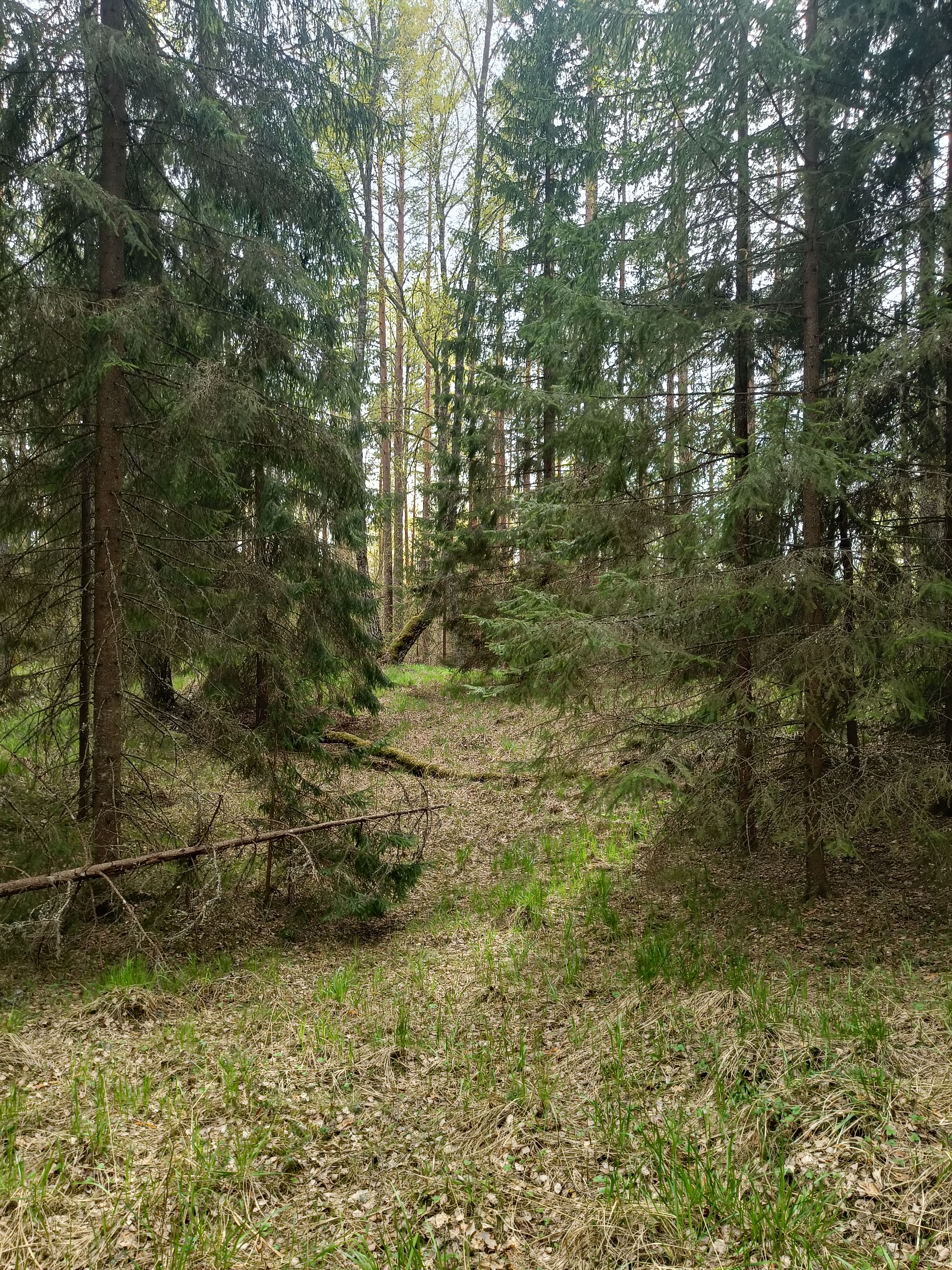
Terrain
Viitna is a nice orienteering landscape. The highest slope is 23m. There are 15-18m slopes here and there – in Estonian terms, the height differences are quite real. There are nice micro-relief nests, but most of them are medium-sized oases and valley-dimple systems. Passability is variable, but mostly better than average. Areas where fallen trees really start to interfere with running straight are mapped as windbreaks. Serious, very difficult-to-pass windbreaks are mapped with the second level of green: 408 Vegetation: walk. Do not go into larger areas of this color. Rare areas mapped with the third level of green are not passable. The “White Forest” is mostly a nice pine forest, but there are exceptions. Bogs and marshy areas are rather on the drier side but soft-mossy. Despite the 5m line, the lower-sloping relief forms are also nicely mapped.
DANGEROUS SPOTS:
- Crossing the Kadrina – Viitna road. This narrow, curved road is busy with traffic and many large trucks.
- Spruce windbreaks. Especially on steep slopes. The dry twigs protruding from fallen trunks are sharp, painful – dangerous!
Courses
Day 1
| Class | km | CP | Class | km | CP | |
| M12 | 2.2 | 12 | N12 | 2.2 | 12 | |
| M14 | 2.5 | 12 | N14 | 2.5 | 10 | |
| M16 | 4.4 | 17 | N16 | 4.1 | 17 | |
| M18 | 5.5 | 14 | N18 | 4.4 | 17 | |
| M21A | 6.2 | 20 | N21A | 7.7 | 23 | |
| M21B | 6.6 | 21 | N21B | 4.2 | 13 | |
| M35 | 7.7 | 23 | N35 | 5.3 | 15 | |
| M40 | 4.3 | 14 | N40 | 5.3 | 15 | |
| M45 | 4.5 | 14 | N45 | 4.2 | 13 | |
| M50 | 6.6 | 21 | N50 | 4.2 | 13 | |
| M55 | 5.9 | 18 | N55 | 3.8 | 14 | |
| M60 | 5.3 | 15 | N60 | 3.8 | 14 | |
| M65 | 4.2 | 14 | N65 | 3.2 | 13 | |
| M70 | 3.2 | 13 | N70 | 2.6 | 12 | |
| M75 | 2.6 | 12 | N75 | 2.2 | 9 | |
| M80 | 2.0 | 10 | N80 | 2.0 | 10 | |
| M20D | 5.3 | 15 | N21D | 6.2 | 17 | |
| M21D | 7.7 | 23 | N40D | 4.7 | 15 | |
| M40D | 5.6 | 15 | N50D | 4.0 | 12 | |
| M50D | 5.2 | 14 | N60D | 3.0 | 11 | |
| M60D | 4.4 | 14 | ||||
| Open (short) | 3.0 | 10 | ||||
| Open (long) | 5.9 | 17 |
Day 2
| Class | km | CP | Class | km | CP | |
| M12 | 2.6 | 13 | N12 | 2.6 | 13 | |
| M14 | 2.9 | 15 | N14 | 2.8 | 13 | |
| M16 | 4.4 | 20 | N16 | 3.5 | 15 | |
| M18 | 5.9 | 20 | N18 | 4.4 | 20 | |
| M21A | 8.5 | 30 | N21A | 7.0 | 28 | |
| M21B | 6.5 | 27 | N21B | 5.0 | 20 | |
| M35 | 7.0 | 28 | N35 | 5.5 | 21 | |
| M40 | 7.2 | 28 | N40 | 5.5 | 21 | |
| M45 | 7.2 | 28 | N45 | 5.0 | 20 | |
| M50 | 6.5 | 27 | N50 | 5.0 | 20 | |
| M55 | 6.1 | 23 | N55 | 4.3 | 19 | |
| M60 | 5.5 | 21 | N60 | 4.3 | 19 | |
| M65 | 4.9 | 18 | N65 | 3.5 | 16 | |
| M70 | 3.5 | 16 | N70 | 2.6 | 14 | |
| M75 | 2.6 | 14 | N75 | 2.7 | 13 | |
| M80 | 2.2 | 11 | N80 | 2.2 | 11 | |
| M20D | 3.1 | 14 | N21D | 3.5 | 15 | |
| M21D | 4.0 | 19 | N40D | 3.1 | 12 | |
| M40D | 3.6 | 13 | N50D | 2.5 | 10 | |
| M50D | 3.1 | 13 | N60D | 2.5 | 13 | |
| M60D | 2.5 | 11 | ||||
| Open (short) | 3.2 | 13 | ||||
| Open (long) | 6.1 | 24 |